Find your way
Interactive Map of Gjirokaster
Use this planning map to group sights, meals and practical stops by area. A full interactive map embed can be added once the preferred map provider and listings are finalised.
The essentials
Understand the city by area
Old Town cluster
Bazaar, historic houses, museums and viewpoints are close on a map but separated by steep lanes.
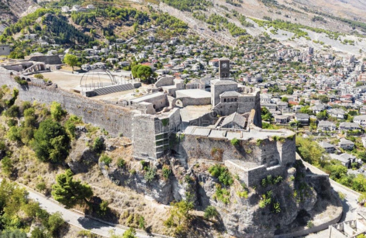
Castle ridge
Approach on foot from the bazaar and allow time for the climb.
Transport zone
Bus stops and many practical services sit in the newer lower town.
Curated for your visit
Orient yourself before the first climb
Local context, realistic timing and visual recommendations—designed to help you decide quickly and travel better.
 01
01Castle ridge
Views and major heritage sites.
Explore →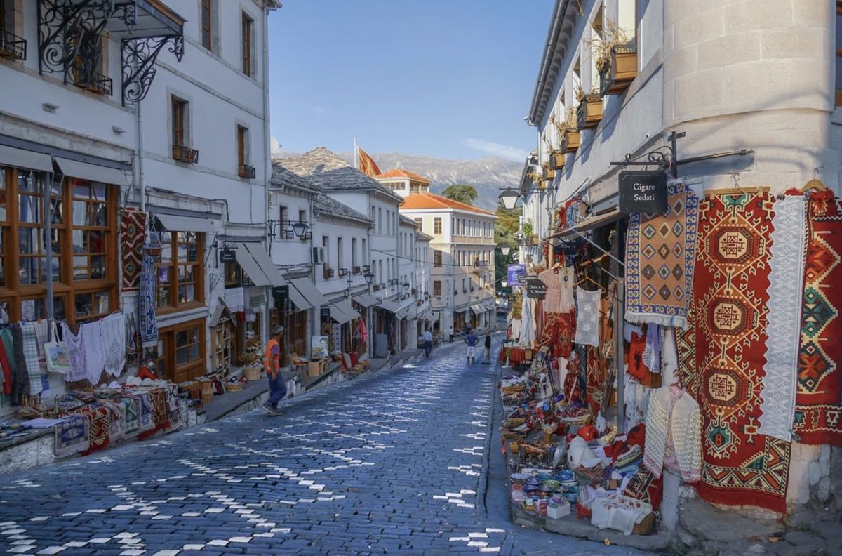 02
02Old Bazaar
Food, shops and evening atmosphere.
Explore →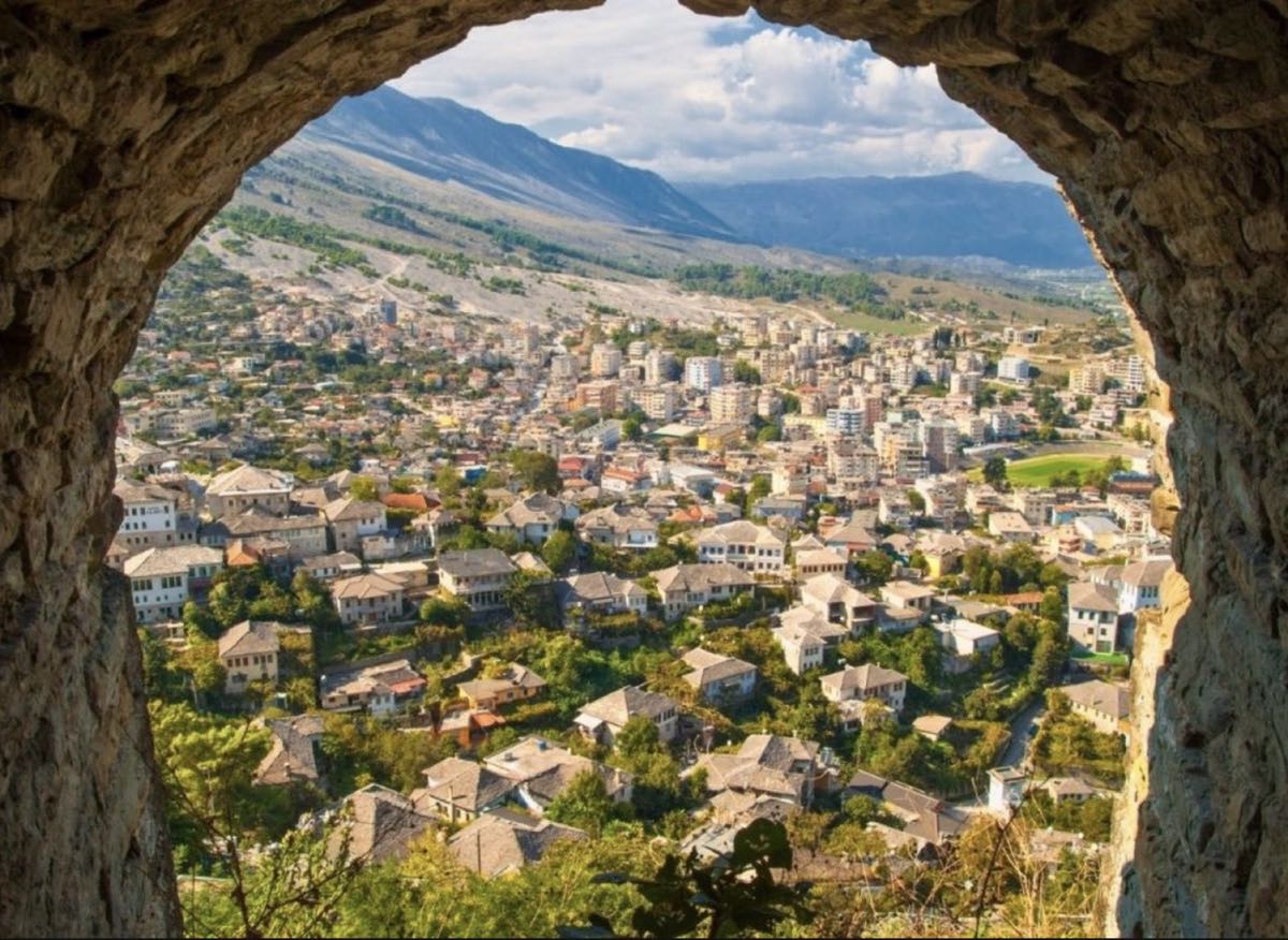 03
03Historic houses
Residential lanes and museums.
Explore →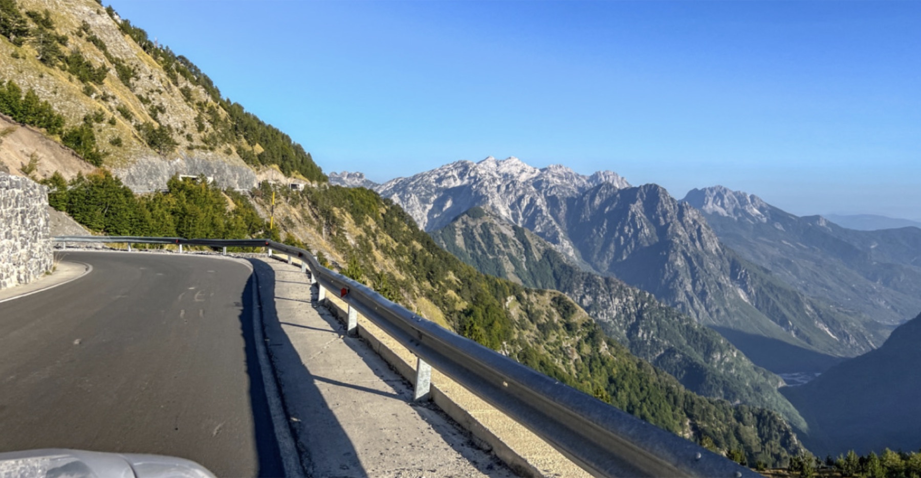 04
04Lower town
Parking, buses and practical services.
Explore →Explore visually
Gjirokaster at a glance
The castle sits above the bazaar; the modern town and transport connections spread into the valley below. Zoom and pan to understand the relationship before planning your walking route.
Open a larger map · © OpenStreetMap contributors
Make it happen
Map a smarter route
Save your hotel
Pin the exact entrance, not just the property name.
Group by elevation
Avoid unnecessary down-and-up routes.
Download offline
Keep an offline Albania map for driving and weak-signal areas.
Plan by area
Group nearby stops and avoid unnecessary climbs.
Protect your time
Leave room for slow meals and changing conditions.
Check locally
Confirm seasonal hours and transport before setting out.